Sunbathing under cliffs is dangerous!

prof. dr. Timotej Verbovšek
Date of publication:
Why is the walking path between Piran and Fiesa often closed? Why have new rocks appeared in the sea? Why are there piles of stones along the coast? Why are warning signs placed in Strunjan Landscape Park and Debeli rtič? The answer lies in the composition of Slovenia's steep coastal cliffs.
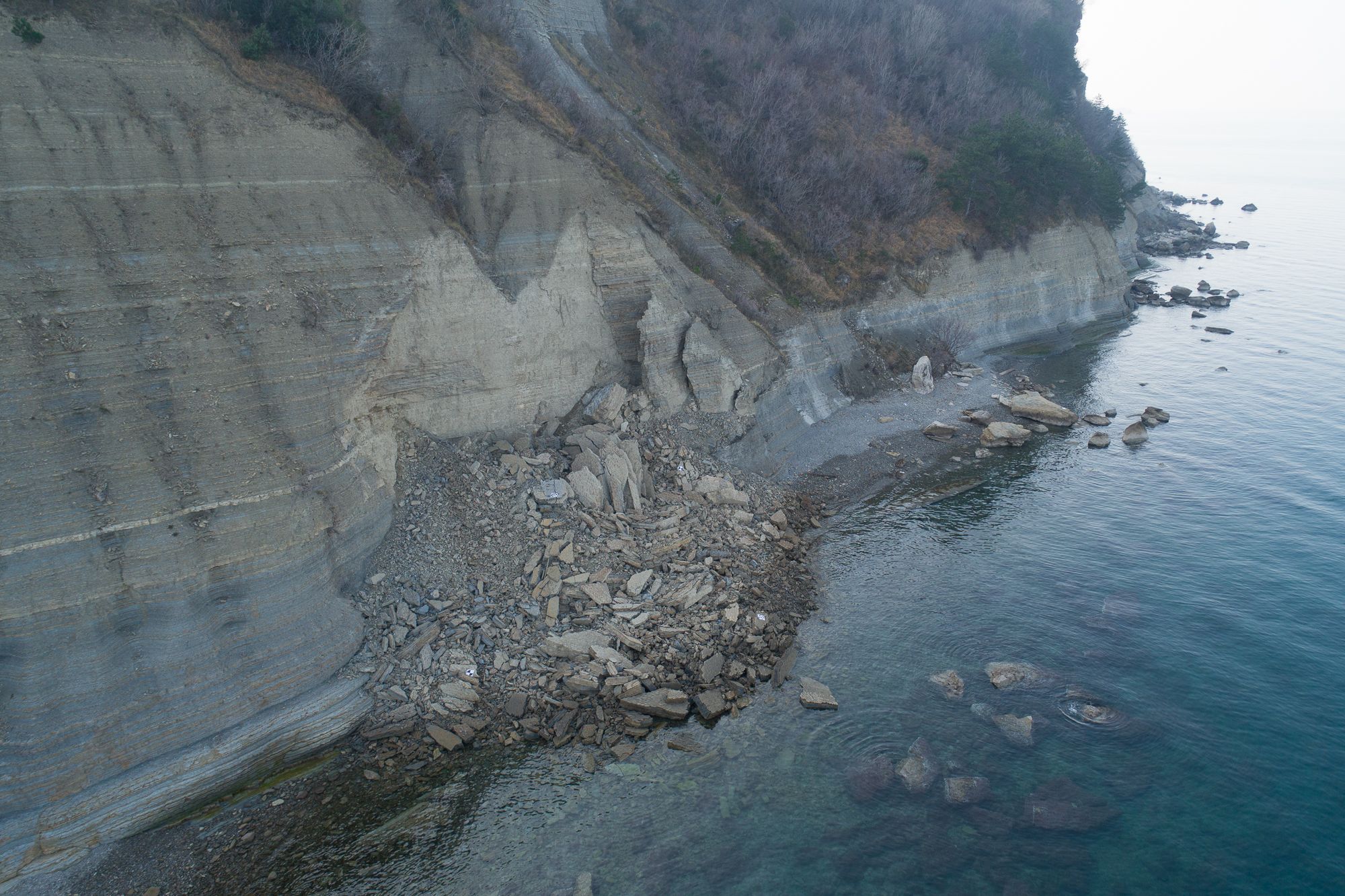
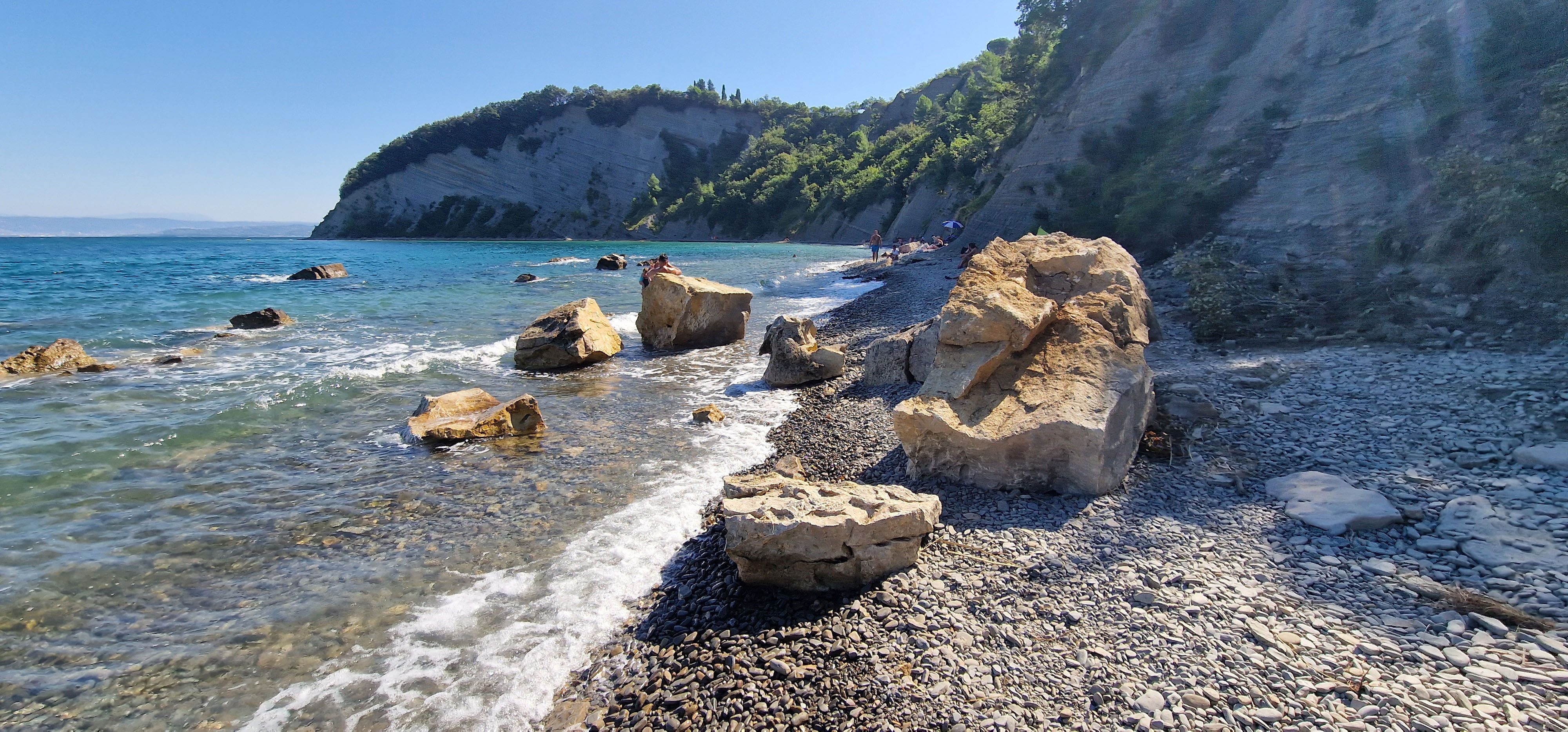
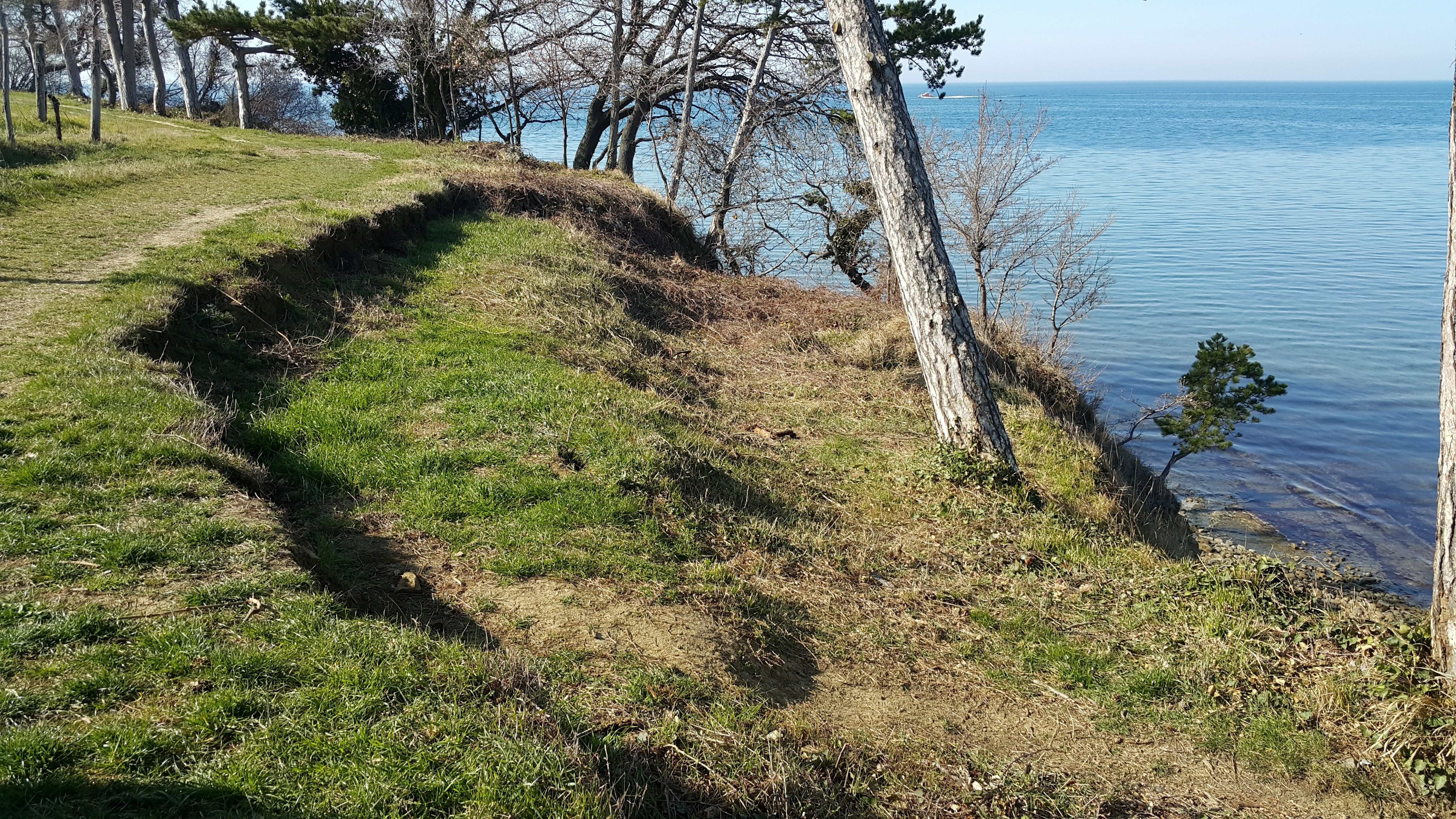
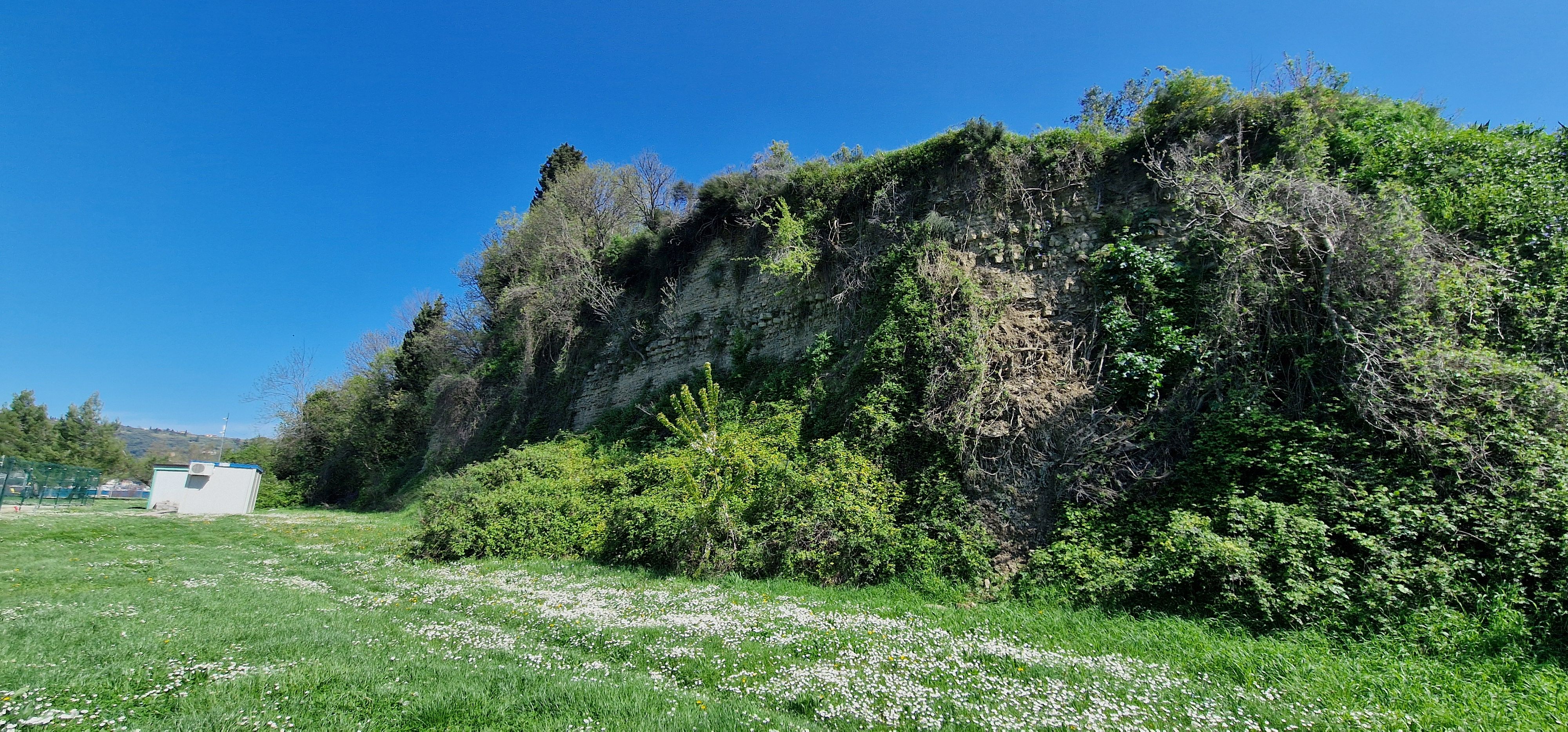
These cliffs are highly susceptible to intense erosion due to their steep slopes, unfavorable geological composition—flysch (alternating layers of softer marlstones and harder sandstones)—and the erosive effects of the sea, wind, precipitation, and temperature fluctuations. This makes them very threatening to walkers and swimmers, as rocks frequently detach from the cliff and fall onto the shore.
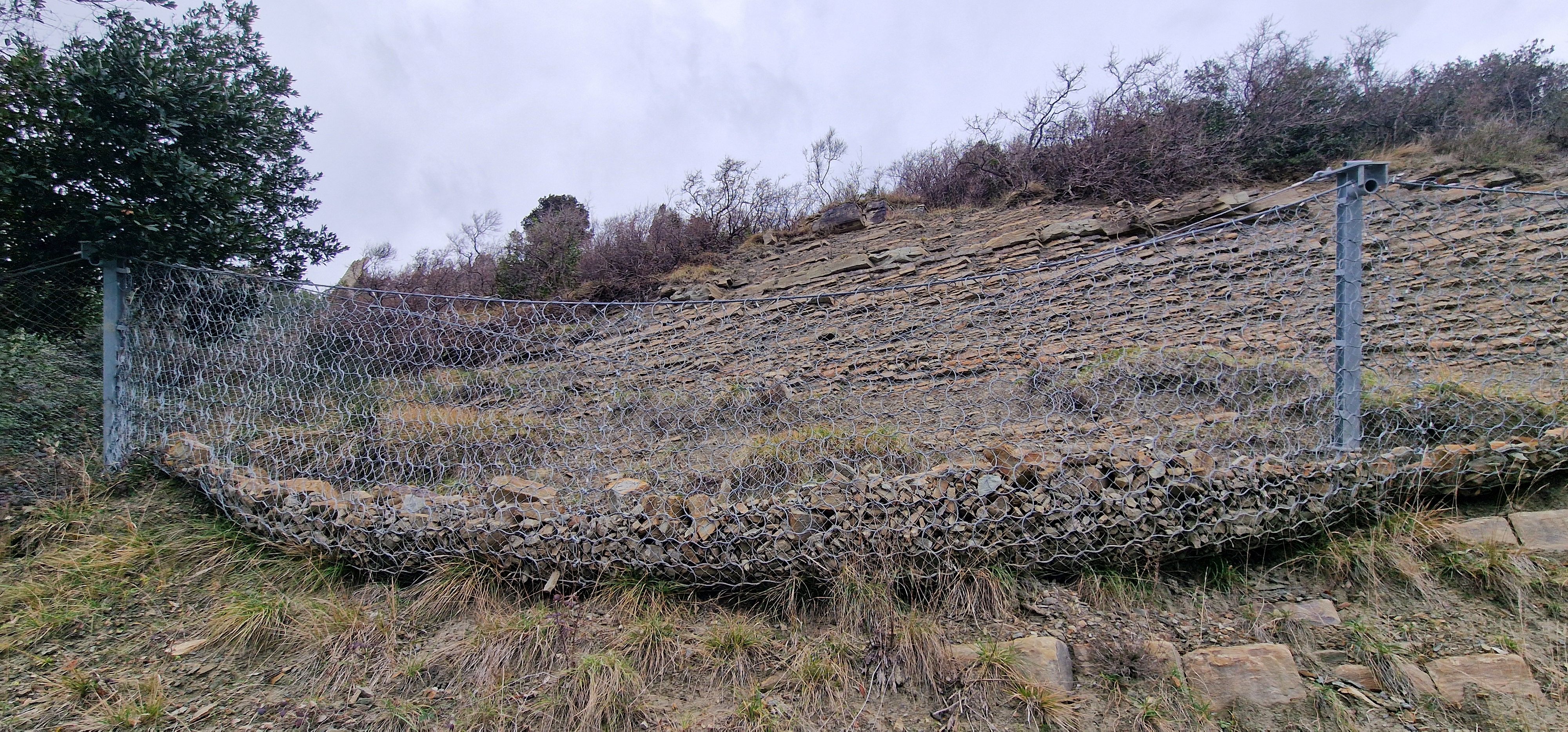
A group of researchers from the Department of Geology at the Faculty of Natural Sciences and Engineering, the Faculty of Civil and Geodetic Engineering at the University of Ljubljana, and the Slovenian National Building and Civil Engineering Institute studied erosion processes on Slovenia's coastal flysch cliffs and assessed related risks. As part of the Erosion Processes on Coastal Flysch Cliffs with Risk Assessment project, they monitored and measured the condition of cliffs along Slovenia's coast and produced a risk assessment for coastal erosion and associated processes. These processes are extremely dangerous for walkers and swimmers beneath the cliffs due to falling rocks, including smaller stones. Occasionally, trees undermined by erosion also fall.
The researchers found that the composition and strength of sandstone layers vary significantly, making it challenging to predict which layers are more stable. Their findings, which are still being refined, are available on the project website.
Photo gallery
The measurements were conducted interdisciplinarily. Initially, geological and engineering geological field studies involved detailed mapping of the flysch rock structure, geological mapping, measuring fracture parameters, and documenting landslides and other slope movements. In the laboratory, they studied the geomechanical properties of the rocks (uniaxial compressive strength and shear strength), which are crucial for understanding the rocks' resistance to erosion. Using remote sensing methods, including photogrammetry performed with unmanned arieal vehicles (UAVs), commonly known as drones and laser or LiDAR scanning, they examined surface changes in cliffs over distinct time intervals. The results were integrated into GIS systems to create various hazard, vulnerability and risk maps.
The researchers employed different approaches to quantify the hazards and vulnerabilities of coastal sections, taking into account natural factors (geological structure, slope gradients, degree of fracturing, precipitation levels, tidal activity, and wave action), existing structural or protective measures, and future trends (sea level rise, precipitation patterns, etc.).
This research is essential because such geologically hazardous processes have occurred in the past and are expected to become more frequent due to more intense rainfall, winds, rising sea levels, and other consequences of climate change. Several collapses have been recorded in recent years. The most recent, in August 2023, occurred in the Bay of St. Cross near Strunjan, where a rockfall with rocks of one to six tons cut through the walking path and fell into the sea at the base of the cliff. A nearby significant collapse in late 2019 involved a volume of about 2,000 m³ of flysch and was a rapid and dangerous event. Similarly, safety concerns have long affected the trail between Piran and Fiesa, which is threatened by falling rocks and has been repeatedly closed in recent years.


